GPS navigation – How to choose the most suitable unit and associated products for your dual-sport adventures.
Selecting the best motorcycle GPS can be somewhat of a challenge due to the limitations of placement, touch screen, and size, with more abuse and waterproof and dustproof properties as opposed to conventional GPS units.
Then there are the map sets which can cost some money and the map software to learn. This article is not about which brand or unit or which brand is the best but to assist with some guidance when choosing a unit and all the mind-boggling amount of maps and map sets to choose from.
Criteria when choosing your GPS unit:
- Bluetooth: This is a very important function as it assists with voice prompts but in addition allows the user to listen to their favourite tunes
- Rough and tough: Vibration, shock, the elements, dust, water, and washboard roads in Africa are just some conditions that can kill electronics and a motorcycle GPS must be able to handle such conditions. they need to deal with it. Antennas and their strength also differ from units.
- Battery: Most motorcycle GPS batteries are rubbish and due to their high need for juice will never last more than an hour or so. It is a better option to use a GPS mount with an electrical connection to the GPS. That way it will always have power.
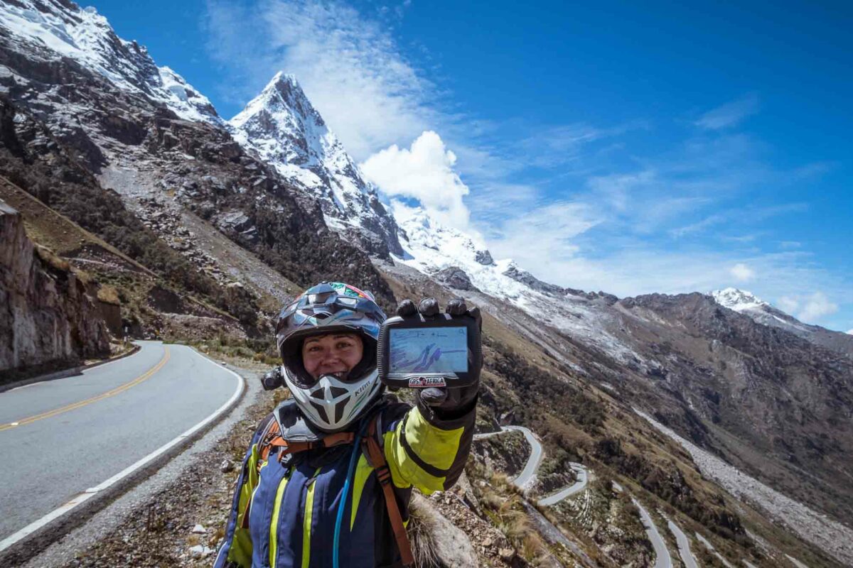
- Installation: Some GPS units come standard with mounting brackets and points. RAM mounts and Touratech for example supply very cool mounts some lockable.
- Map Features: How many tracks and waypoints can the unit store? Can you create tracks on the unit? Some of the better units even have a fuel range setting. How fast does the GPS load maps and respond to movement?
- Ergonomics: Motorbike GPS’s have come a long way. Bigger buttons to use with gloves, touch screens that function with gloves. Bigger interface to see the screen and glare reduction. Navigating must not be a dangerous activity while riding. 3D and High-resolution screens are a big help.
- Mapping: Most GPS units come standard loaded with maps. It is also not a problem if you only ride in your own country. Other country map sets can cost a lot more.

For our friend Pauli at GPS4Africa. Let your GPS route you on some exotic roads and magnificent places. Then there are also Tracks4Africa and OpenSource maps. Have a look at the Maps software like Garmin Basecamp for being user-friendly to make tracks and routes. Tips for devices to create tracks and routing.
- Voice guidance: This is a very cool and safe feature for motorcycle navigation as it can be difficult to read a map while riding. The friendly voice of the lady will talk to you to your destination through the Bluetooth headset.
- Memory: It can be in the form of cards, flash memory, or a hard drive. The hard drive is not ideal because it is sensitive to vibrations. As for the card, it should have enough memory to store the necessary information.
- Price: Motorcycle GPS devices are more expensive than car models. With the use of Smartphones and waterproof pouches, it is also possible to use them for navigation. But..be warned they are not designed or made with adventure in mind.
- Usability of car or motorcycle: When you have a car and a motorcycle, is it possible to use the same GPS for both? Well here is the kicker, with the Zumo you can use your GPS on the bike or in the car with the mounts supplied. Thus saving having to buy a GPS solely for car use.
- Hiking/Biking & Offroad use: The bigger units from Garmin and TomTom are not really suitable for very rough enduro use or hiking due to their poor battery power. The smaller units like the Montana series from Garmin can be considered for that use. That said, we have navigated Addis Abba on foot with the Zumo 660 and used it on an enduro bike.
- Waterproof & Dustproof: Driving rain at 120km/h will get into anything not properly sealed. The Zumo 660, for example, is rated IPX67.
- WIFI updates the newer GPS’s units are able to update and upload new maps via WIFI which makes the exercise a lot easier. Between our Zumo660 and Zumo395, it is an eternal struggle to get new map sets onto the unit.
Love-hate relationship with Garmin
Below are some motorcycle GPS navigation options available. Garmin is the best represented and offer the most units available for us. Unfortunately over my last 18 years using Garmin they have not done much to make me a very angry customer. Their customer care and feedback are as good as zero. It is very difficult to talk to them or resolve issues.
In the past 12 years, it was Pauli our dear GPS guru friend and owner of GPS4Africa in South Africa that always went out of his way to resolve issues. We still use a ZUMO660 and ZUMO395 as there are not enough options or competition in the market.
TOMTOM is another option included here, but not that well represented and can not work with OSM maps. Kooletron and those unknown brands I am not going to waste time on until I hear long term respected reviews.

GARMIN 66i
More adventure, less worry. GPS and Personal tracker all in one!
Navigation meets global communication in the rugged GPSMAP 66i button-operated GPS handheld and satellite communicator1 featuring Garmin TopoActive mapping and inReach® technology.

GARMIN 396 LMT-s
Motorcycle Navigation for the Twisty Road to Adventure
This rugged motorcycle navigator is built to find and share the next gnarly, road-gripping adventure. The 396 will possibly replace the 595 and 395.

GARMIN XT
The rugged zūmo XT motorcycle navigator is built for adventure.
The rugged zūmo XT motorcycle navigator is built for adventure. Its ultrabright 5.5” display is glove-friendly, rain-resistant, and shows you the adventurous way — on and off the beaten path.

TOMTOM RIDER
- Ride challenge level. Plan windy and hilly roads
- Discover the world’s best-curated riding routes, exclusively
- Updates via Wi-Fi®. No computer needed
- Compatible with Siri and Google Now™
- Lifetime* Worldwide Maps, TomTom Traffic and Services
- Double the processing speed and five times faster start-up
How to look for those out of the way tracks?
Twelve, fifteen years ago the best way to get out of the way routes were to actually get to a place and talk to people. This in itself was not always the best way as people in rural outback areas do not have up to date info on road conditions. There were Michelin maps and info from people like a local friend of ours, Neil who as a 25-year-old got a job in Angola to go map everything that looked like a road with an old Land Cruiser.
Still, to this day there are so many out of the way dirt tracks being used in many countries it will take ages to explore. Namibia and places like Guatemala have on average still 80% dirt roads. When we started in 1994 touring Namibia we used contoured maps, road maps, and local people’s knowledge for our trip.
Today we have incredible tech stuff to help find those out of the way roads. Our current modus operandi is to use Google Maps and Google earth to do preliminary research.
But there are places like Lake Turkana in Kenya where Google maps show no tracks. Google maps switch between road, and satellite views to see if bridges and roads actually exist. Don’t blindly trust Google maps.
Then with that, we use MAPS.ME as back up as they sometimes have tracks and roads mapped that Google does not have. They are supported by OSM Open Source Maps – https://www.openstreetmap.org/
Take time to research different routes on different platforms
In addition, the website dangerousroads.org offers some great options to explore with detailed information. In Africa, for we use https://tracks4africa.co.za/ which was started years ago by travellers sending tracks and POI’s to a dear friend Wouter and he made it into a map set that could be used on normal GPS’s. That map-sets today cover entire Africa with some of the best routes available for overlanders and Advriders.
One of the best ways is to hook up with locals in countries, but locals that actually know their stuff. In Colombia, we met Andres aka https://a2ruedasco.wordpress.com/ a local adventure rider addict with a wealth of information, tips, and tracks. In Ecuador, we met a local motorcycle tour group in a remote area of the Amazon at a restaurant by accident. Davo aka https://ecuadorbikerental.com/ was kind enough to share with us in a short hour some of the best routes in and around Ecuador. And tour operators normally won’t do that, they keep the best for themselves.
BIKEPACKING offers quite a lot of routes and options to plan and create tracks. Many of their tracks are not enduro type tracks and can be navigated by the heavy Advbikes. The interesting scenic options though are more for dualsport and the lighter type motorcycles.
But the moral of the story is that locals have a treasure chest overloading with local information to be used. Maybe it is also a good thing not to share tracks, let people put in some effort to research a place rather than just piggybacking on other people’s rides.
Mapset options & Free map sets:
 MAPS: If you are in the USA or planning to ride the USA. The absolute best maps are the Butler maps. They are created with the motorcyclist in mind and especially dual sport riders. These maps are waterproof and can take a beating being used on a bike.
GPS and Mobile devices mapsets: Besides the maps that come standard with most GPS units, there are also other alternatives.
OSM – OpenSourceMaps; The Free Wiki World Map – An openly licensed map of the world being created by volunteers using local knowledge, GPS tracks, and donated sources. Free maps for Garmin units. Also, http://www.mapmania.info/ and https://www.openmapchest.org/ maps offer maps for Garmin devices.
Recommended websites for free OSM maps:
- Freizeitkarte (English, European maps)
- Frikart (English, European maps)
- OpenTopoMap (german, worldwide)
- GPSFileDepot (English, worldwide)
- OpenStreetMap (English, worldwide)
 Tracks for Africa: Tracks and POI for use in Africa. I am not aware of any similar map sets for any other continent, but Tracks4Africa is the most comprehensive info sets for overlanders for Africa. Basically, if you travel to Africa get this mapsets with POI. These mapsets are comprehensive for travel use and overlanding. They also now supply maps.Tracks4Africa
Maps-GPS-Info offers loads of map sets and other maps for free. It is basic but it works.
Manage maps:
JaVaWa device manager is a Dutch developed app that helps you load and manage maps on your GPS device. It is simple to use and works perfectly with Windows machines. There are other useful features on their site to use. PLEASE NOTE! The owner of this app last updated the app in 2016 so it might not work in Apple or other devices.
![]() BackCountryDiscoveryRoutes are a nonprofit initiative that allows people in different parts of the USA to download dual-sport tracks in some states. There are wonderful tracks and roads to ride. All due to people contributing information.
BackCountryDiscoveryRoutes are a nonprofit initiative that allows people in different parts of the USA to download dual-sport tracks in some states. There are wonderful tracks and roads to ride. All due to people contributing information.
Smartphone off-line maps, applications & POI.
You don’t need to leave your phone at home. There are a lot of limitations to smartphones when not able to access the net and their finicky build for adventure.
Your smartphone can still be an invaluable helpful tool for the info, serving as a pocket-sized travel guide, phrasebook, eReader, and music player, camera, video camera, torch, and even a beer guide but best of all as a GPS navigation device. Smartphones can be a huge asset to cross-border or international trips.
REVER is one the most used, just switch on, hit the TRACK button, put the phone away, and at the end of the day save and when with wifi upload to the cloud.
The website application interface is well designed and easy to understand. What is nice is that it allows seeing altitude speed during the ride and some other cool goodies. It is also very good to plan and make up routes. I was able to plan and route a portion in Bolivia not shown on any other maps.
It cost a bit of money as a subscription but it is absolutely worth the money to save those cool tracks we have ridden.
Mobile applications are evolving to be a better user experience
![]() There are a few options as apps to search for places to stay and maps. IOverlander is a POI app with loads of places to stay, whether wild camp or formal camping and comments. REVER and Tracks4Africa Guide app both on Apple and Android app stores. Tracks4Africa though also have POI on their app. Another tracking app worth considering is EatSleepRide which is also a tracking app but with places to sleep and eat and crash detection.
There are a few options as apps to search for places to stay and maps. IOverlander is a POI app with loads of places to stay, whether wild camp or formal camping and comments. REVER and Tracks4Africa Guide app both on Apple and Android app stores. Tracks4Africa though also have POI on their app. Another tracking app worth considering is EatSleepRide which is also a tracking app but with places to sleep and eat and crash detection.
 ViewRanger is another mobile phone application we use quite often. This application seemingly was made with hikers and bicycle riders in mind. For motorcycle adventure use it is as good. The way to create a new track is a drag and drop thing and very easy. And it can track the same as REVER. Both these apps do not use much power when tracking and we can go 8hrs on a track run.
The map sets are easy to use and download and the app works offline. The app also allows to find, identify, and take snapshots of mountain peaks. The mapsets and details on ViewRanger is very good and I have it in good authority many of the Dakar guys use this app as some sort of backup. Don’t quote me I just heard it.

We also use Peak Finder phone application. It is an inexpensive app, but one of the coolest to have when travelling. The mountains are calling! Explore more mountains than any mountaineer! PeakFinder AR makes it possible… and shows the names of all mountains and peaks with a 360° panorama display. This functions completely offline – and worldwide! PeakFinder knows more than 650’000 peaks – from Mount Everest to the little hill around the corner.
These mapsets can be accessed offline on mobile.
Look for OSM-OpensourceMaps on Playstore or internet.
Google Offline Maps. Most mobile platforms can use Google Maps. Maps will stay in memory for 30 days.![]() With My Maps in Google, it is also possible to create a route quite accurately and then export as a .KLM file and use http://kml2gpx.com/ to convert to a .GPX to be used on a GPS.
With My Maps in Google, it is also possible to create a route quite accurately and then export as a .KLM file and use http://kml2gpx.com/ to convert to a .GPX to be used on a GPS.
MapsWithMe. This app will download maps — including information about local businesses. The light version on Playstore is free. MAPS.ME
An excellent source of information is: WikiOverland From WikiOverland, the encyclopedia of Overland travel
Personal GPS Trackers:
Personal GPS trackers have evolved to be thinner, cheaper, and more useful for outdoor activity and travel these days. They offer users the peace of mind to be able to send text messages and alerts to family members or rescue teams if and when things go bad. They are really useful tools for overlanders and travellers.
Please be sure to check on the cost of ownership and the fine print of each product. There are monthly subscriptions with both devices but the terms may vary. Also, make sure to familiarise yourself with the global coverage each of the products offers.
Also important is the service and back-up from these companies. Make sure to read up on as many reviews as possible.
The two most popular for motorcycle use are the SPOT GEN3 and Garmin In-Reach mini both offer some excellent benefits but their payment options might not suit everybody.
It is advisable to always carry and ride the unit with you and not attached to the bike.
Here is a super cool write up from Moto.Phil on how to integrate your SPOT device to Spot Walla.
This page updated: May 2020
Android had more app options that offer custom maps. Locus is a very powerful example of this. It’s has a data base of downloadable maps like OSMAND and the rest but it also allows custom maps. Scan in you favorite paper map at the local copy shop. Georeference the jpg or tif and convert it to the file format the app allows. Locus can use sqelite file. This link provides software to georeference your map.
http://freegeographytools.com/2009/the-big-list-of-image-registration-georeferencing-software
Do it once and it’s super easy after.
Thanks so much! Thats really some great information. I will add it to the article.
Michnus,
IOS devices can also use Google Maps off line in the same manner. I have used it this way throughout the Continental US, in Baja, and recently on Cyprus.
But also must agree to not fully trust the “roads” in it. But it is way more accurate than Apple’s map program.
Scotsfire you are 100% on the IOS. I omitted it by mistake. Thanks for the correction. 🤙🏻😁